Navionics
Safety infoListing facts
- App name
- Navionics
- Category
- Maps & Navigation
- Developer
- Garmin
- Price
- free
- Store region
- United States
- Source
- App listing
App screenshots
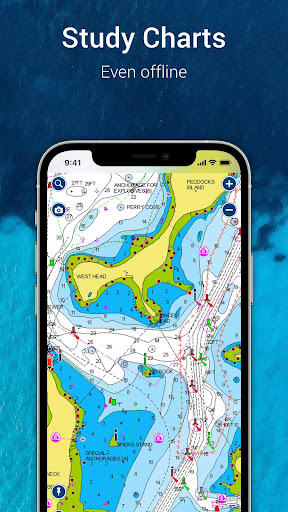
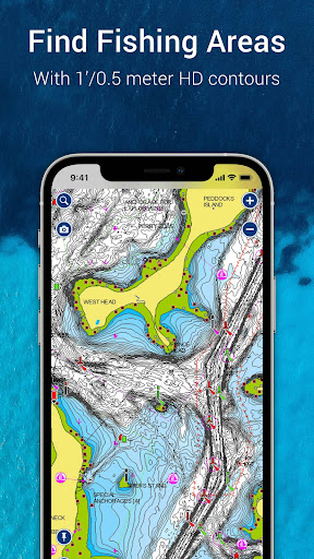
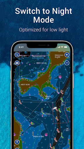
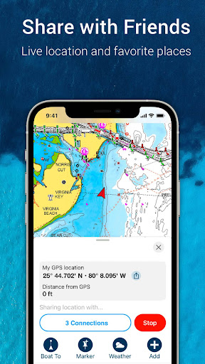
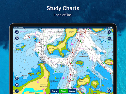
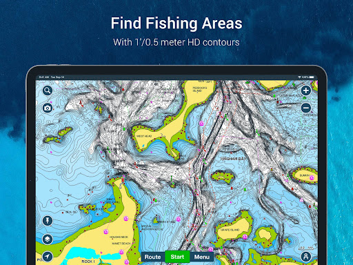
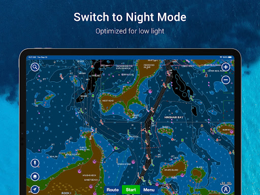
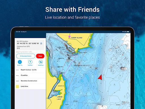
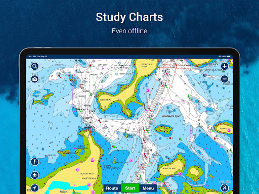
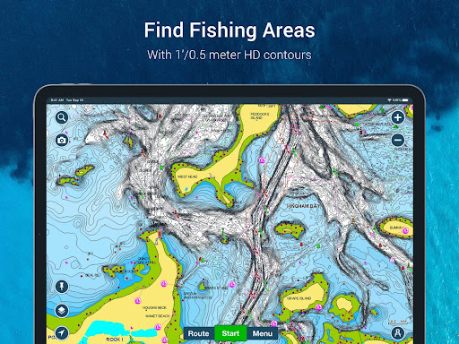
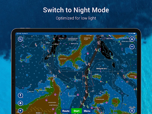
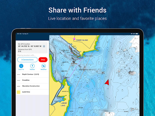
What This App Offers
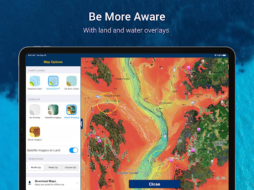
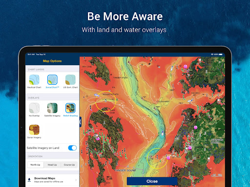
The Boating app provides detailed offline charts and navigation aids for water activities. Plan trips and stay informed about conditions wherever you are. 🗺️
Key Tools
- Navionics Charts
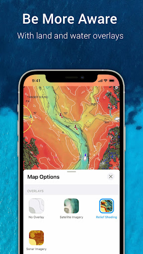
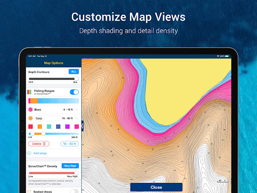
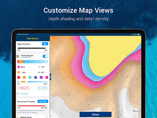
- Access detailed nautical charts, bathymetry, and government charts offline for informed navigation and planning on the water. ⚓
- Auto Guidance+
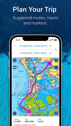
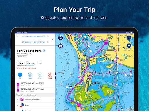
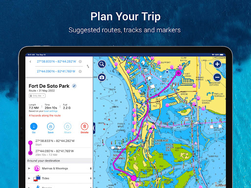
- Plan your route with a suggested dock-to-dock path, estimating arrival times and fuel consumption for smoother journeys. 🚤
- Community Edits
- Leverage local knowledge from other boaters for points of interest and updated navigation aids in your area. 💡
Typical Uses
- Navigate coastal waters and inland lakes.
- Discover new fishing spots.
- Plan safe boating routes.
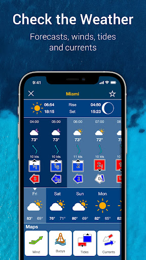
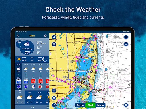
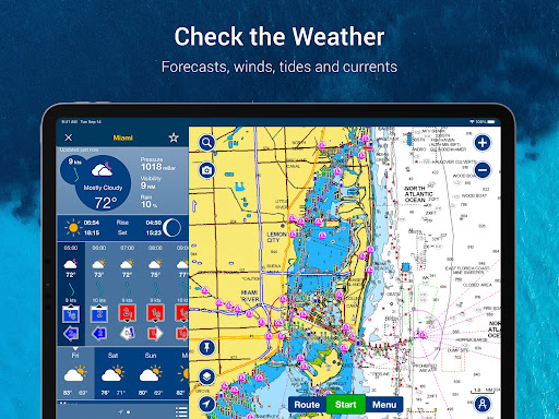
- Monitor weather and tides.
Who It Suits
- Boaters who need reliable offline navigation.
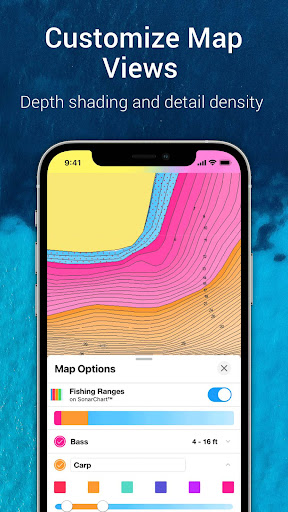
- Anglers seeking detailed bathymetric data.
- Sailors and cruisers planning longer voyages.
Final Assessment
This app offers comprehensive charts and planning tools for boaters. It suits individuals who spend significant time on the water and require detailed navigational information. Remember that Auto Guidance is for planning only.